Sender
SL-TF 292 Samarines
Sender a Candelaria (Santa Cruz de Tenerife)
2,0 kmLineal (només anada)
67 mDesnivell de pujada
72 mDesnivell de baixada
36 mAltitud màxima (mín. 6 m)
40 minDurada orientativa
Perfil del recorregut
Altitud (m) segons la distància recorreguda (km).
Altitud: model digital del terreny EU-DEM 25 m (Copernicus) via OpenTopoData. Durada calculada amb el mètode MIDE (sense parades); depèn de la teva forma física, de la calor i del terreny.
Fotos del recorregut


Fotos de Wikimedia Commons fetes als voltants; cadascuna enllaça a la seva pàgina amb la llicència completa. Pot ser que no mostrin exactament aquest lloc.
Espècies més observades a Candelaria
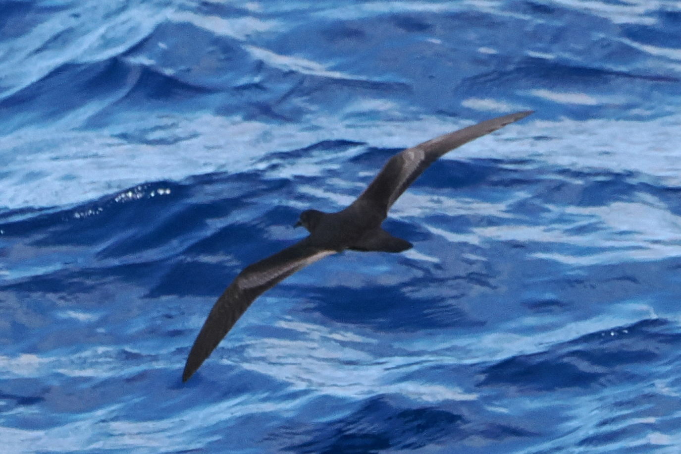
Petrel de Bulwer
Bulweria bulwerii Ocells · 472 registres

Pinzón azul de Tenerife
Fringilla teydea Ocells · 164 registres
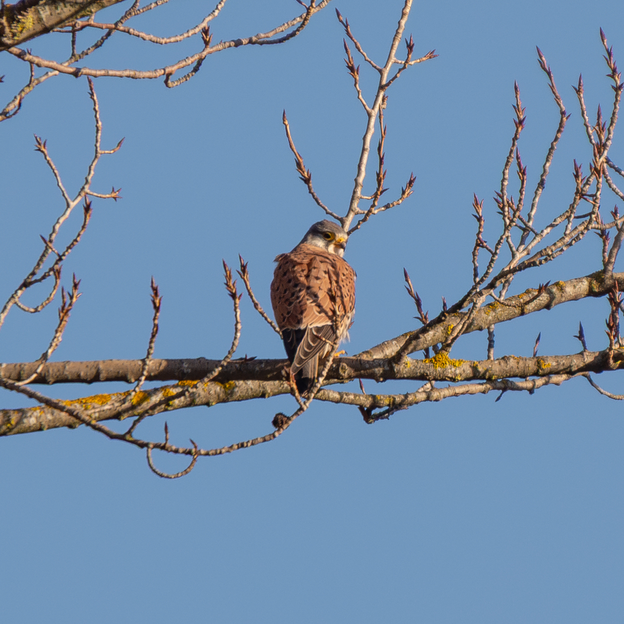
Cernícalo vulgar
Falco tinnunculus Ocells · 123 registres
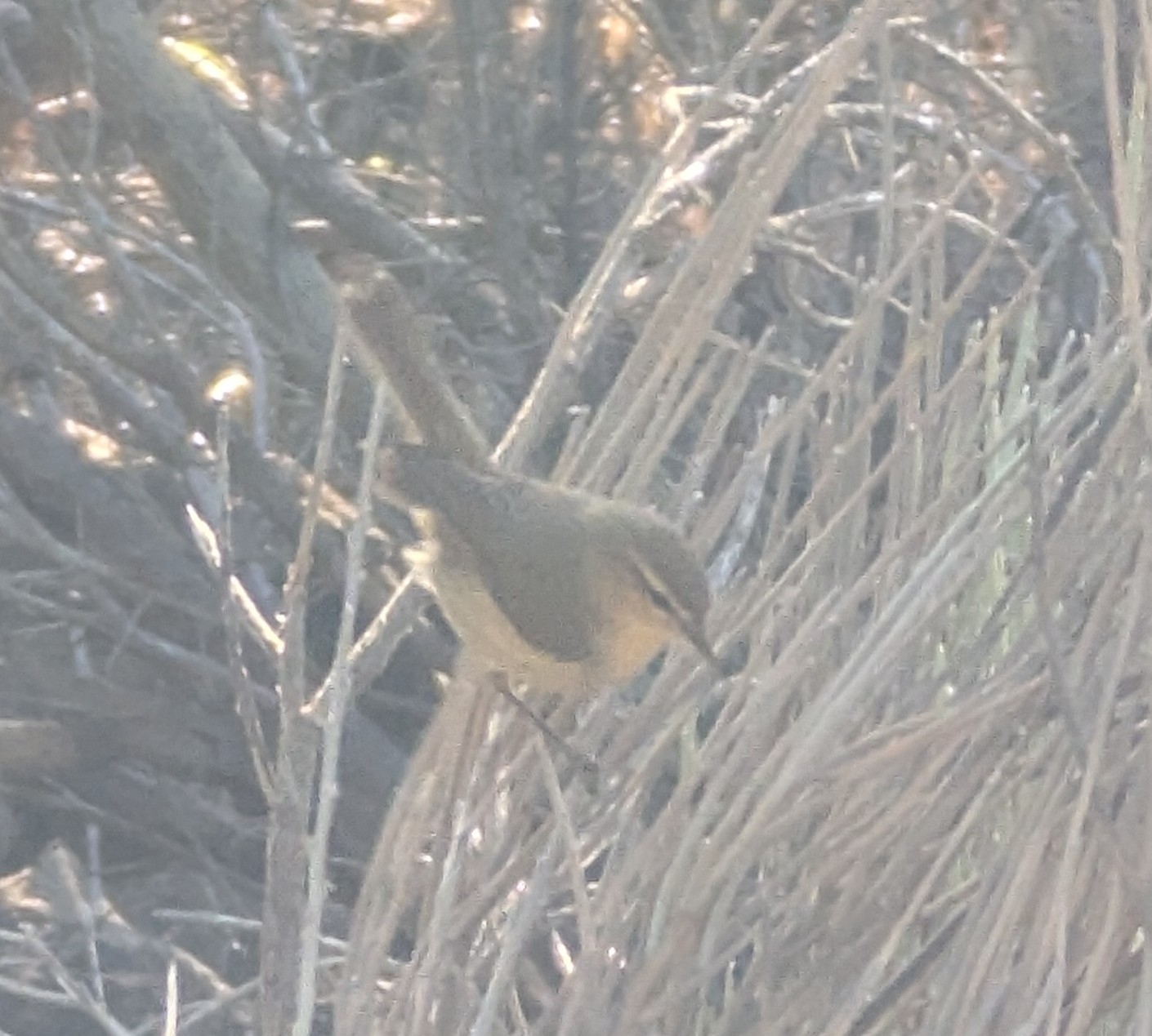
Mosquitero canario
Phylloscopus canariensis Ocells · 85 registres
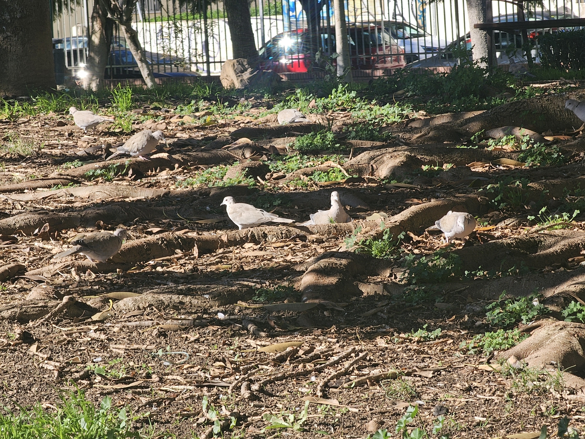
Tórtola turca
Streptopelia decaocto Ocells · 65 registres
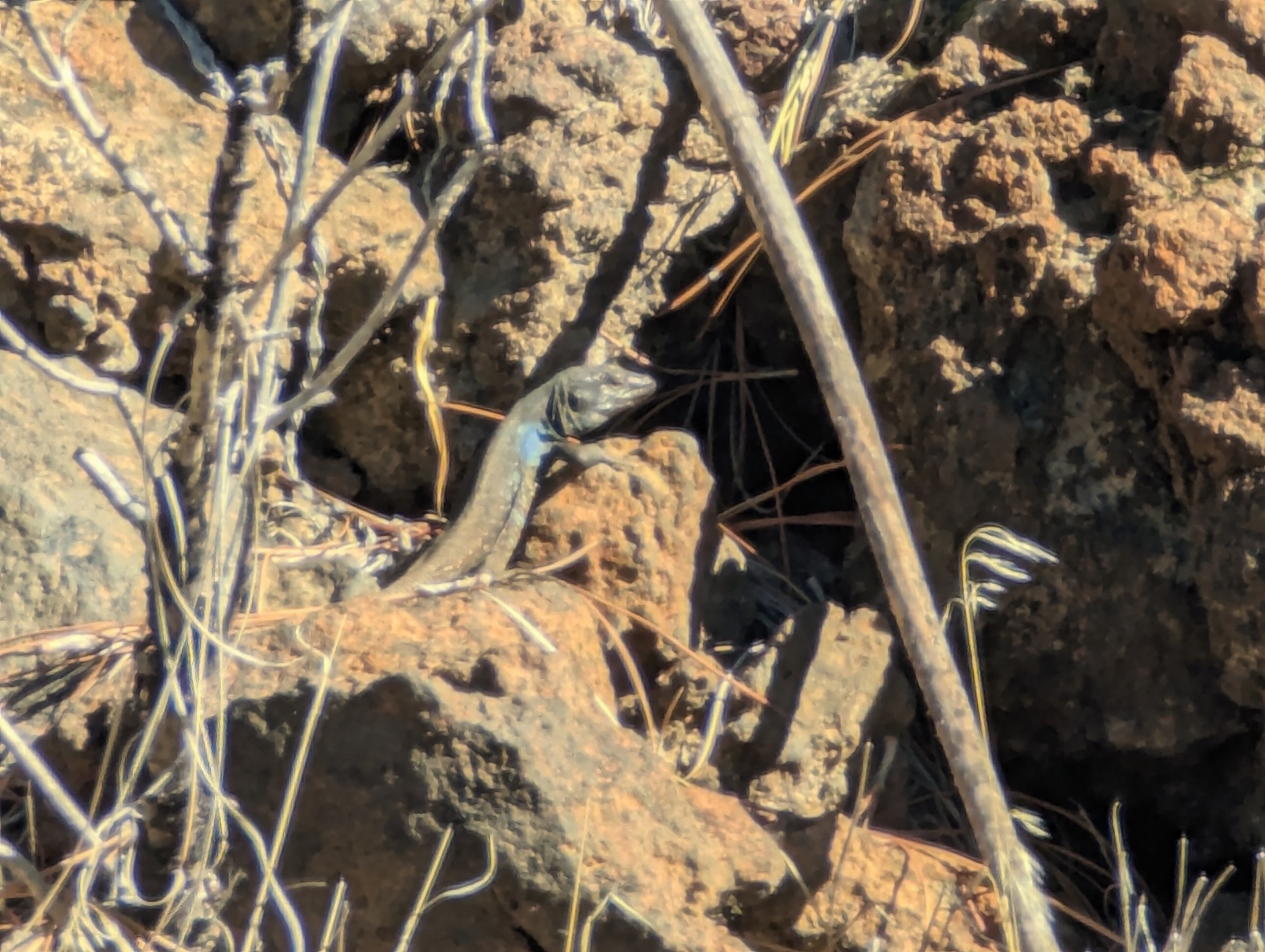
Lagarto de Canarias occidental
Gallotia galloti Rèptils · 62 registres
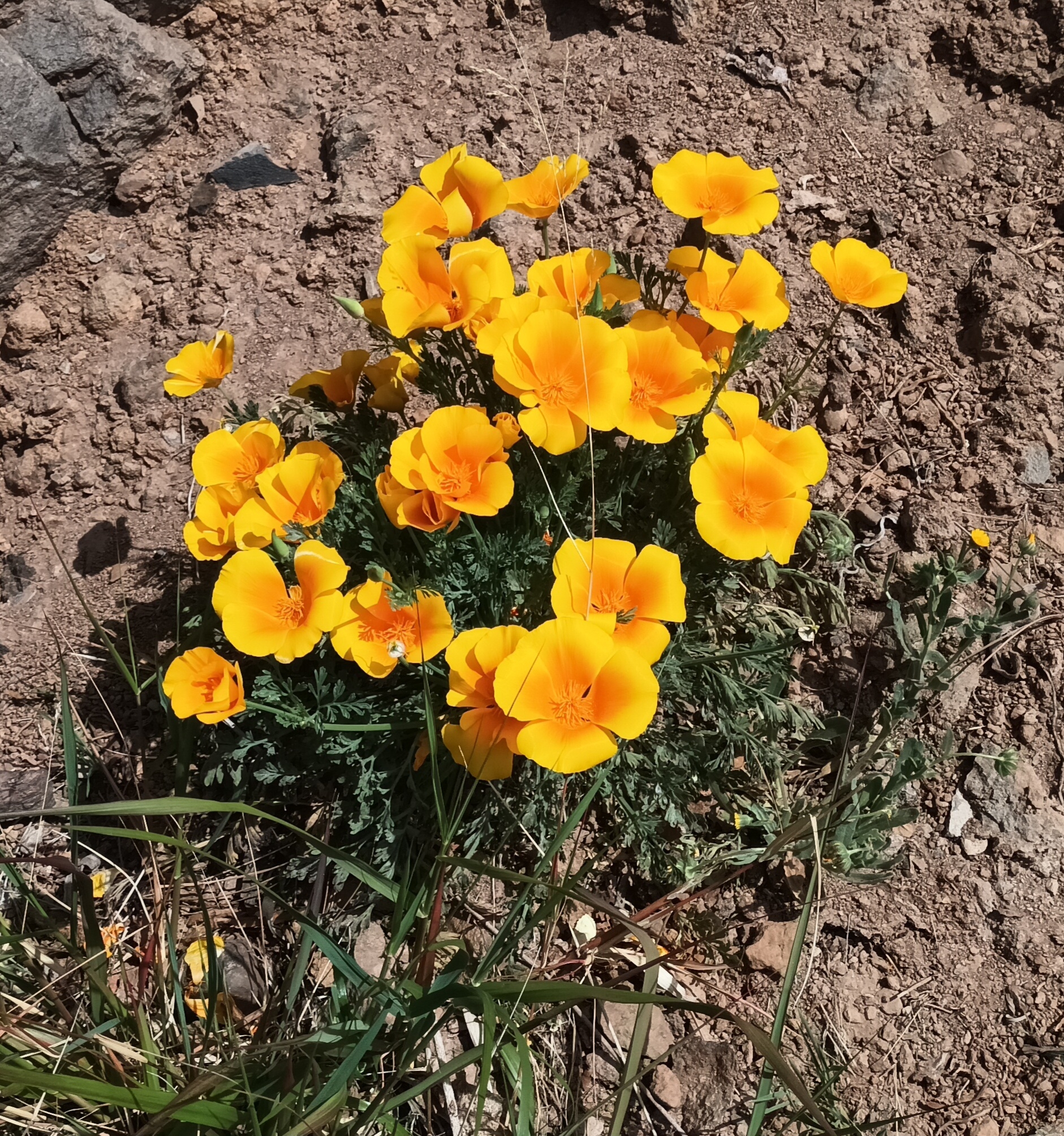
Amapola de California
Eschscholzia californica Plantes · 59 registres
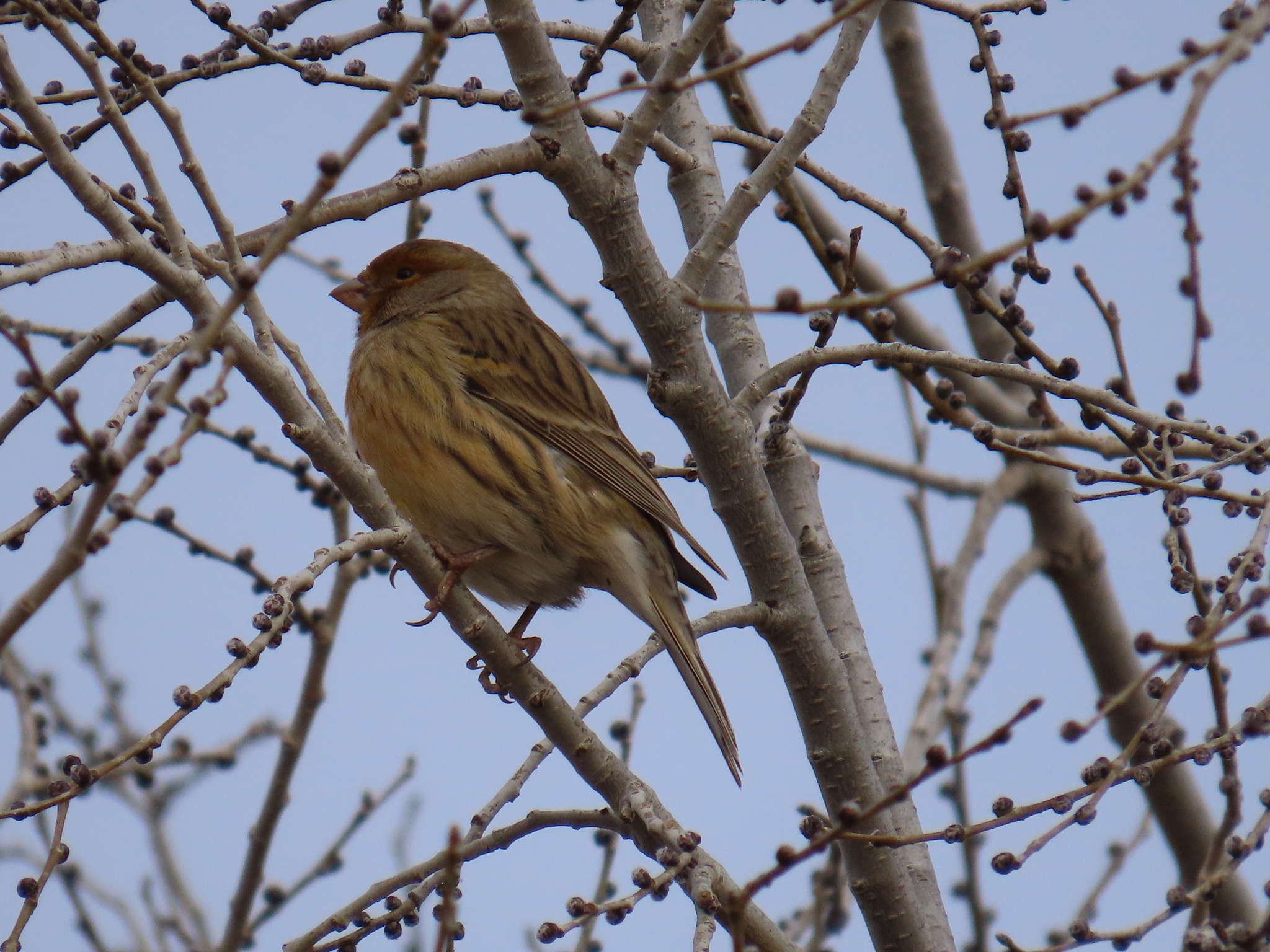
Canario silvestre
Serinus canaria Ocells · 57 registres
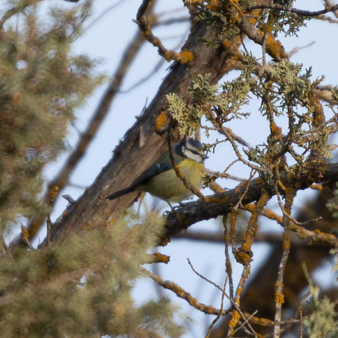
Herrerillo común
Cyanistes caeruleus Ocells · 55 registres
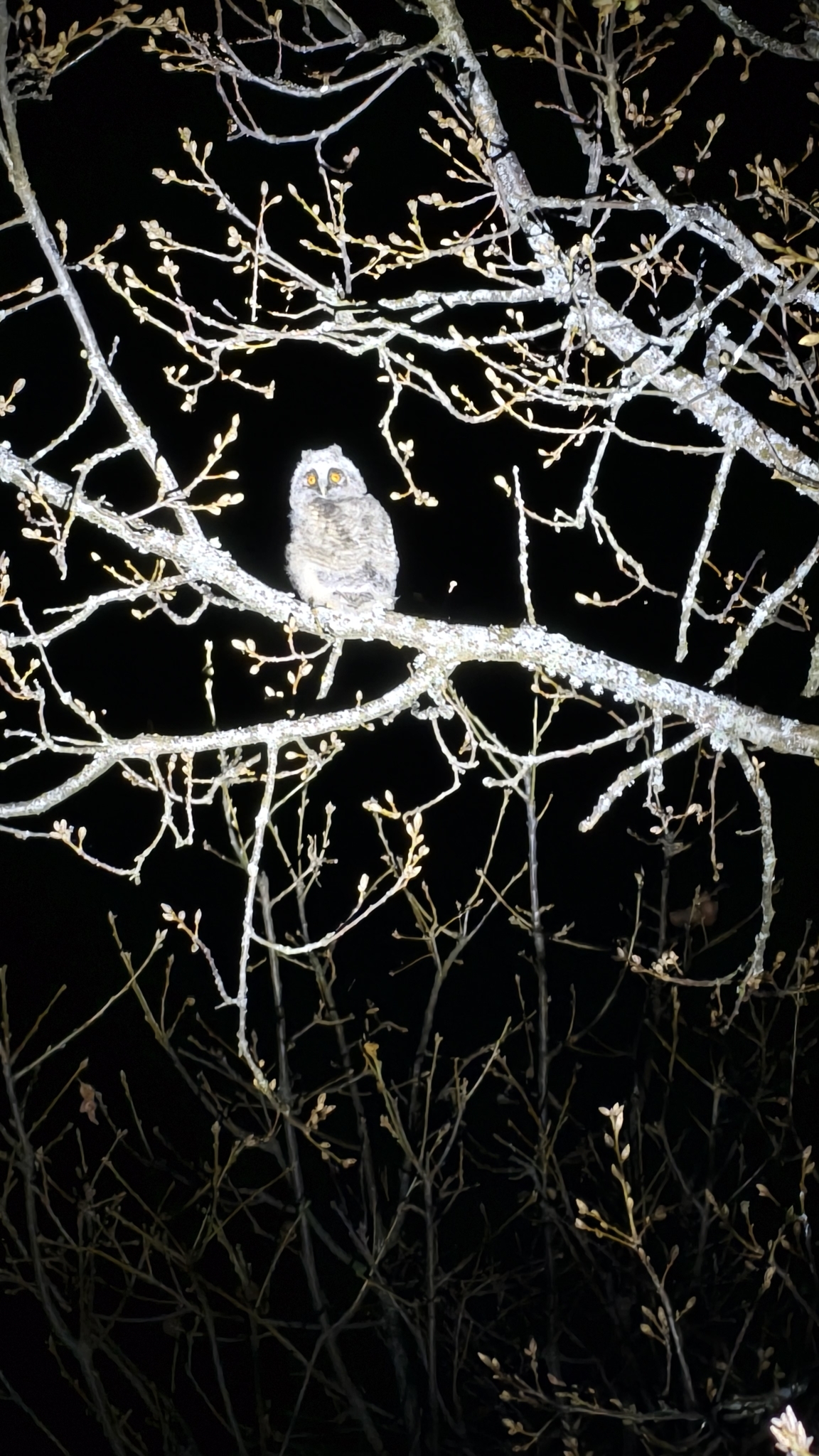
Búho chico
Asio otus Ocells · 46 registres
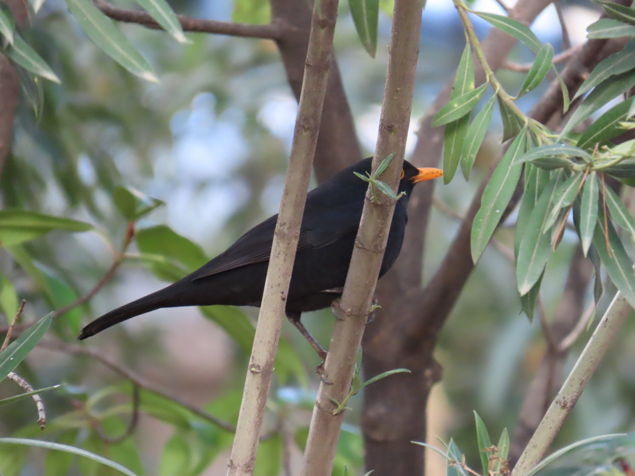
Mirlo común
Turdus merula Ocells · 41 registres
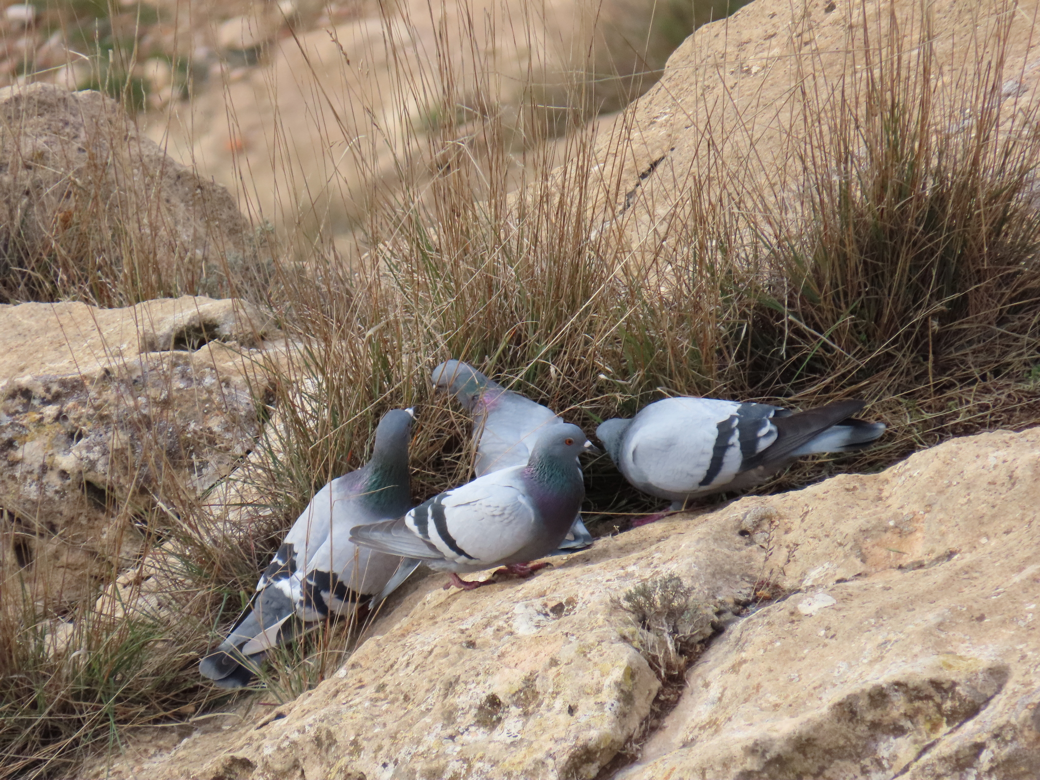
Paloma bravía
Columba livia Ocells · 41 registres

Imatge: Wikimedia Commons
| Longitud del traçat | 2,0 km |
| Xarxa | Sender local |
| Referència | SL-TF 292 |
| Gestiona | http://www.candelaria.es/opencms/opencms/ayuntamiento_es/delegaciones/turismo/queHacer/pagina_3.html |
Dades de © col·laboradors del projecte OpenStreetMap (ODbL). Actualitzat 12 oct.
A prop d'aquí
- Playa de la ViudaPlatja · 0,1 km
- Playa de SamarinesPlatja · 0,5 km
- Playa de ChimisayPlatja · 0,9 km
- Santuario de la Virgen de Candelaria y ConventoEspai natural protegit · 1,0 km
- Llano de la VirgenEspai natural protegit · 1,5 km
- Playa del PozoPlatja · 1,7 km
- Playa de la EntradaPlatja · 1,9 km
- Playa de la HornillaPlatja · 2,0 km
Serveis propers
- Licenciada Marta Elena Cáceres BercedoFarmàcia · 1,2 km
- Farmacia BarreraFarmàcia · 1,5 km · Calle Periodista Ernesto Salcedo 3, Candelaria
- Punto de recargaPunt de recàrrega elèctrica · 1,5 km
- Centro de Salud Villa de CandelariaCentre de salut · 1,5 km
- Farmacia VidarteFarmàcia · 1,7 km
- Farmacia PuntalargaFarmàcia · 2,1 km